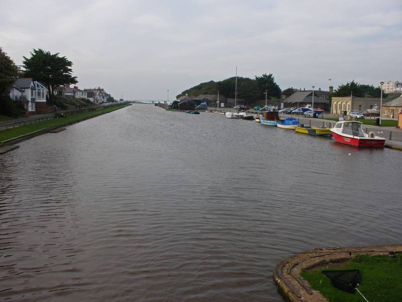
Bude.
Start. Bude (Tourist Information).
Route. Bude Tourist Information Centre - Breakwater Road - Bude Haven - Compass Point - Bude Canal - Bude Tourist Information Centre.
Notes. After a 360 mile drive south we arrived at our base for the week, a small tastefully converted cow shed on the Cornish Devonshire border, Southmoor Barn situated on the edge of the village of Whitstone turned out to be the perfect place to explore the North Cornwall coast.
Later that afternoon we drove the extra six miles to Bude, had a short walk along the banks of the Bude Canal before watching surfers having great fun hunting for that perfect wave. When the sea breached the breakwater we decided it was time to retreat, ascend Compass Point and see what delights the headland had to offer. The scene north over Summerleaze Beach was stunning, a litany of misty headlands merging into a blue/grey horizon. We reluctantly re-traced our steps before wandering back along the opposite bank of the canal.

The final stretch of the 35 mile long Bude Canal, built in the 1820's to carry calcium rich sea sand for use as fertilizer.
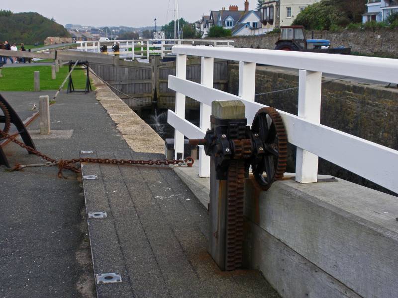
The tastefully restored sea lock originally opened in 1823 to allow coastal merchant ships to reach the upper and lower wharfs.
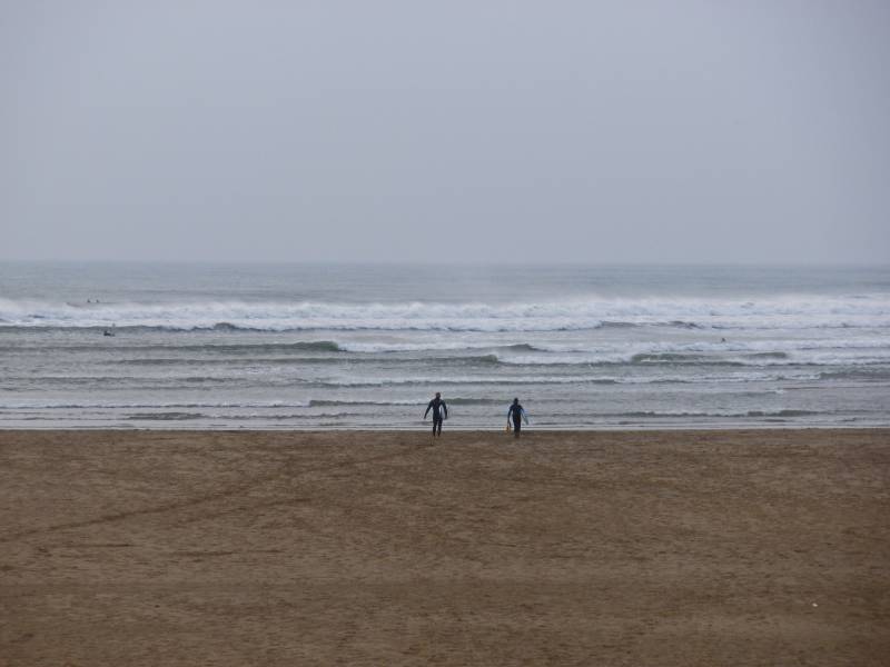
Summerleaze Beach with a couple of surfers heading for the breaking waves.
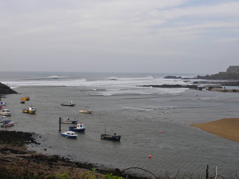
Bude Haven seen from the narrow path leading to the breakwater.
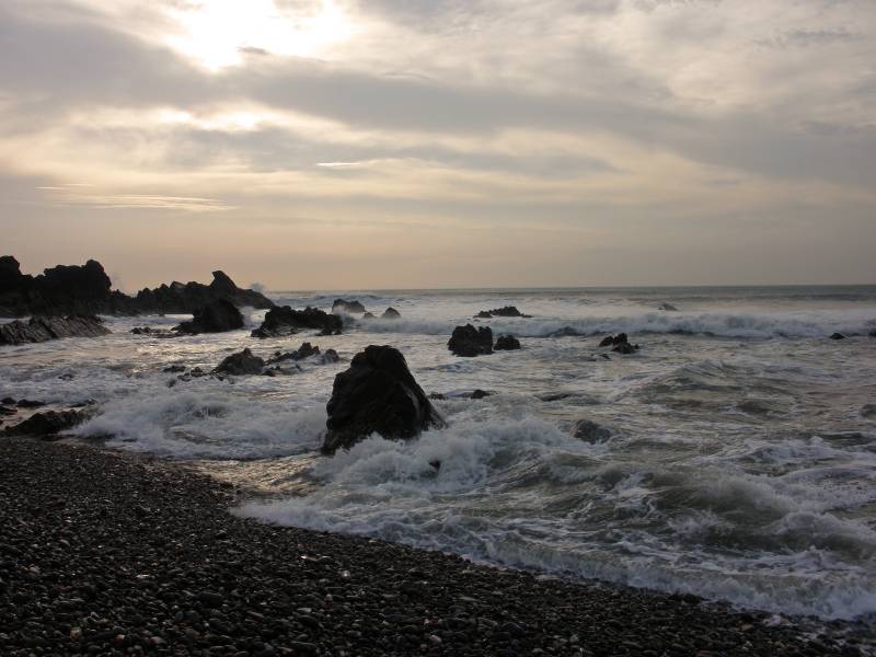
The churning waters of Bude Bay, seen from the small shingle beach at the seaward side of the breakwater.
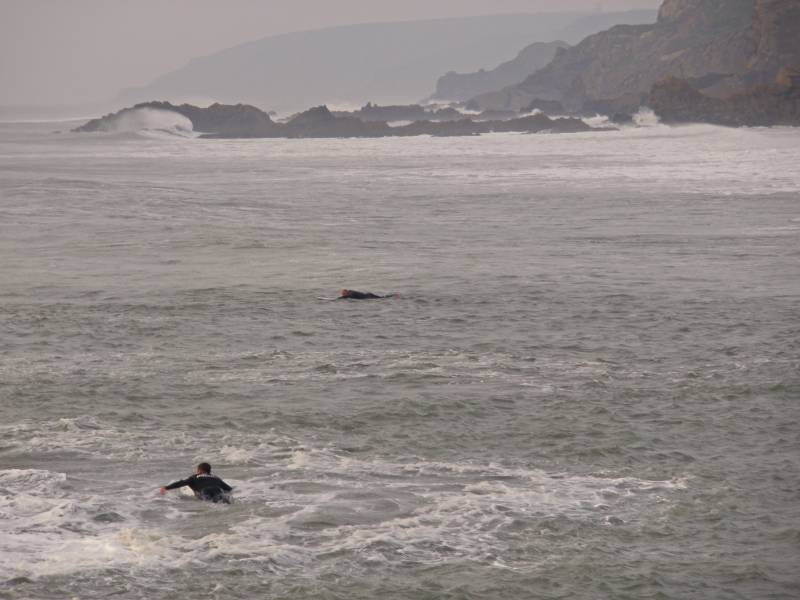
Blue/grey headlands and a foaming sea, at this point I was more interested in the two surfers paddling out to the big waves.
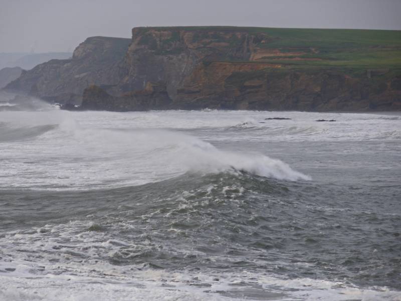
Atlantic breakers thunder over Summerleaze Beach with the cliffs of Wrangle Point across the bay
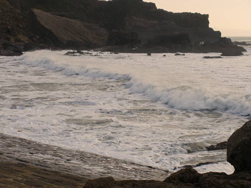
Compass Point seen from the breakwater.
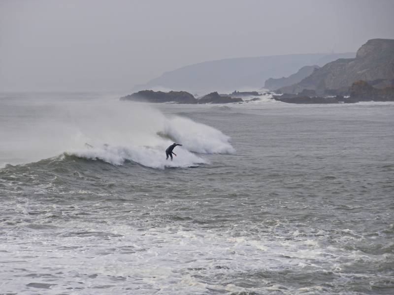
I don't really understand wave terminology but I believe this surfer is in the Impact Zone, the point where the waves break for the first time
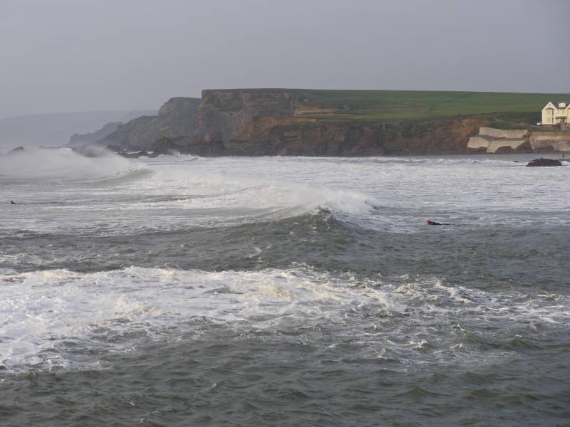
Across the bay Wrangle Point with the houses of Flexbury to the right.
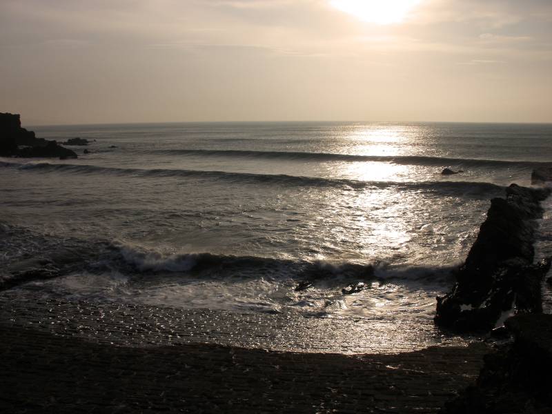
Silver shimmering sunlight dances across the Atlantic Ocean.
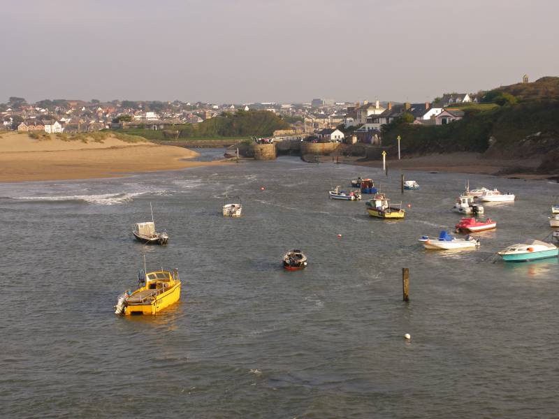
Seen over Bude Haven the entrance to the canal with Bude for the backdrop and the River Neet to the left.
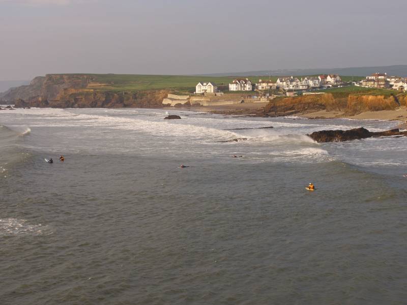
Ascending Compass Point looking to Flexbury.
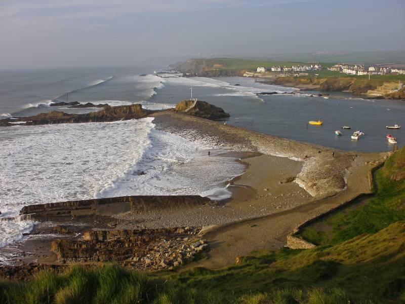
From Compass Point there are wonderful views to be had over of Bude Bay....
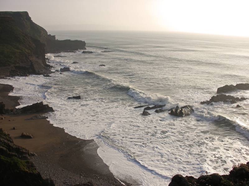
....and in the other direction where Efford Down meets the Atlantic Ocean.

Seen from the canal tow path Summerleaze Beach, the River Neet and the remains of the monster that killed the canal, the railway.