The Holy Island of Lindisfarne.
Start. Main car park off Chare Ends road.
Route. Chare Ends - Lindisfarne - Lindisfarne Priory - St Mary's Church - Harbour Point - Lindisfarne Castle - Castle Point - Emmanuel Point - Straight Lonnen - Lindisfarne - Chare Ends.
Notes. Lindisfarne a place of pilgrimage since the island was gifted to St Aiden by Anglo-Saxon king Oswald in 635, in those days goods and people travelled up and down the coast by sea, much safer than land, Lindisfarne would have been at the heart of coastal trade, an ideal base to begin converting the pagan Northumbrians to Christianity. Raids by the Vikings in 793 and again in 875 caused the abandonment of the monastery, come 1083 a new priory was founded and the island became known as Holy Island. Visited by saints and sinners, priest and pilgrims, by royalty and the common man, now it's our turn.
This was going to be a leisurely stroll, there's lots to see on the island and just as much to visit. From the main car park we made our way to the ruins of the Lindisfarne Priory, then on to St Mary's Church, to the west of the grave yard a gate allowed access to the coast path, a short ascent of Harbour Point followed before descending to the harbour, clearly visible across the bay Lindisfarne Castle, we paid the entry fee and disappeared behind the walls of this sixteenth century fortress.
Our visit over we followed the path towards Castle Point passing some industrial lime kilns dating back to the 1860s, here we swung north to follow the shore line to the beacon on Emmanual Point. Re-tracing our steps to a dry stone wall we wandered west, with the wall to our left and the dunes of The Links our right it was easy walking, we soon reached Straight Lonnen a wide grassy lane heading perfectly straight back to the village. We dawdled back as there was still more to visit, tea rooms and gift shops a visitors centre and museum.

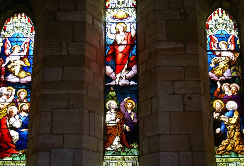
St Mary's Parish Church, Holy Island, this window above the Nave dating from the 19th century depicts St Aiden and St Cuthbert.
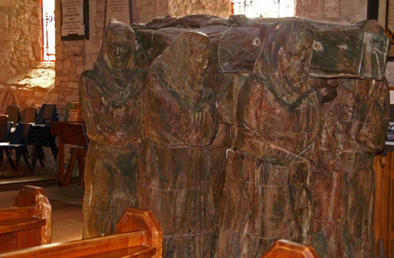
Also in the church this carving called The Journey, depicting the monks of Holy Island carrying St Cuthbert's body on the first stage of it's journey to Durham.
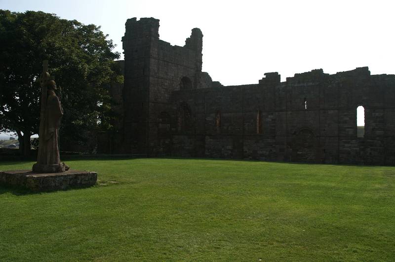
The remains of Lindisfarne Priory.

Seen from the priory grounds, perched high on Beblowe Craig, Lindisfarne Castle.
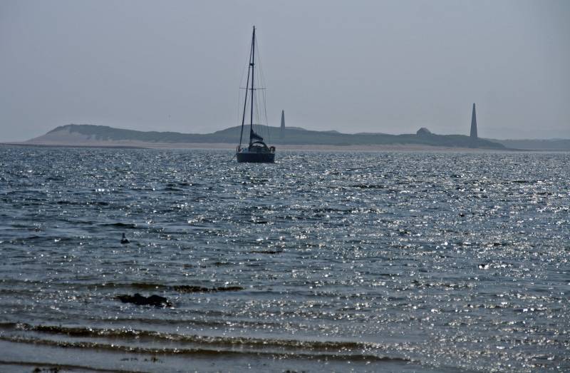
A hazy view across The Harbour, Guile Point with it's two navigation columns, the east column is illuminated at night to help guide boats into the harbour.
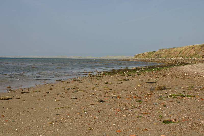
Seen from the small beach a few paces to the west of St Mary's the sand dunes of The Links stretch across the horizon.
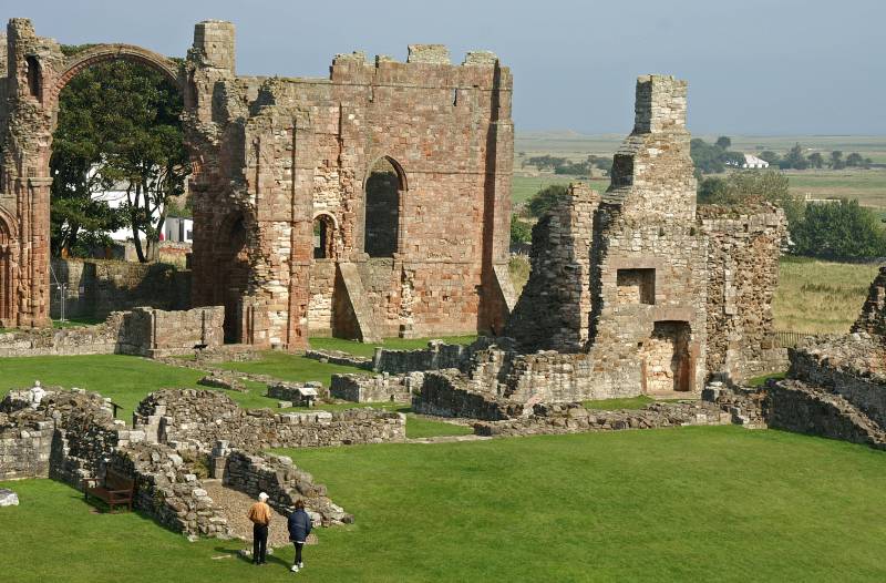
On Harbour Point looking down on the remains of Lindisfarne Priory.
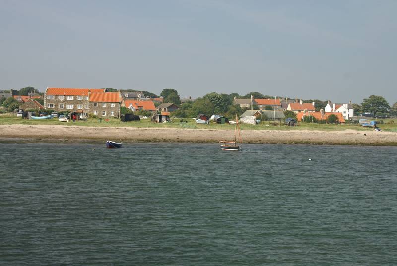
The orange rooftops of Lindisfarne seen from the jetty.
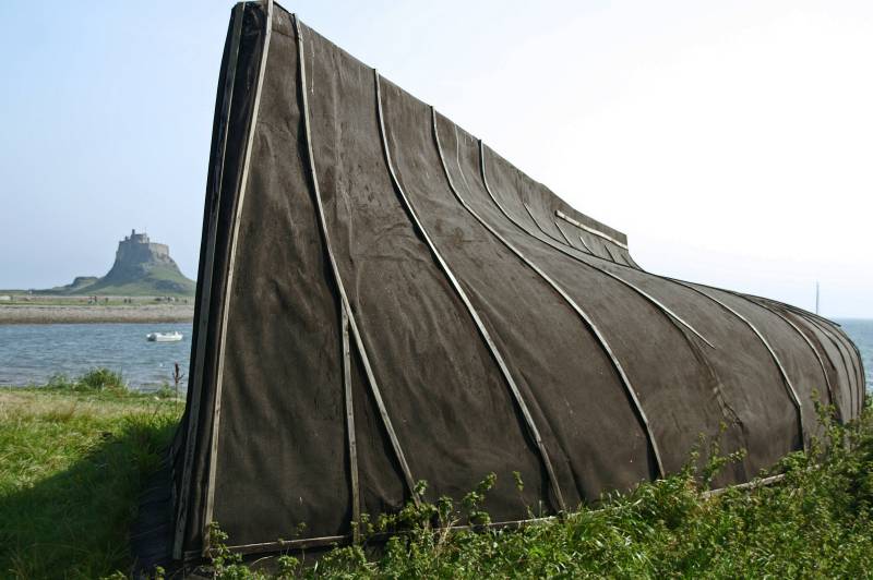
Seen across the bay from an upturned boat Lindisfarne Castle.
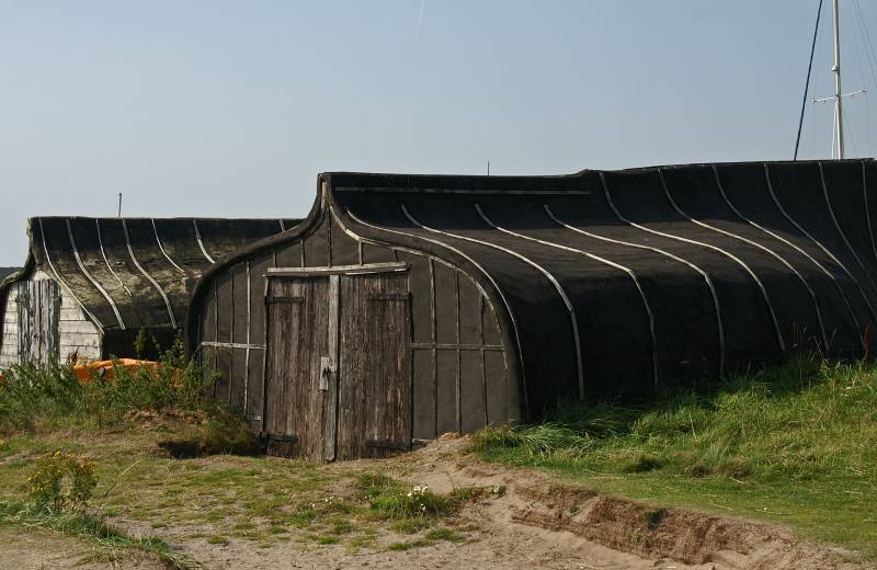
From the beginning of the nineteenth century it's been tradition to use upturned boats as sheds on this island, there's lots scattered around some in a better state of repair than others.
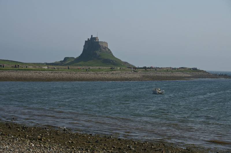
Wherever you walk on the island the castle always dominates the skyline, built in 1550 using stone from the demolished priory I can't imagine Beblowe Craig without it.
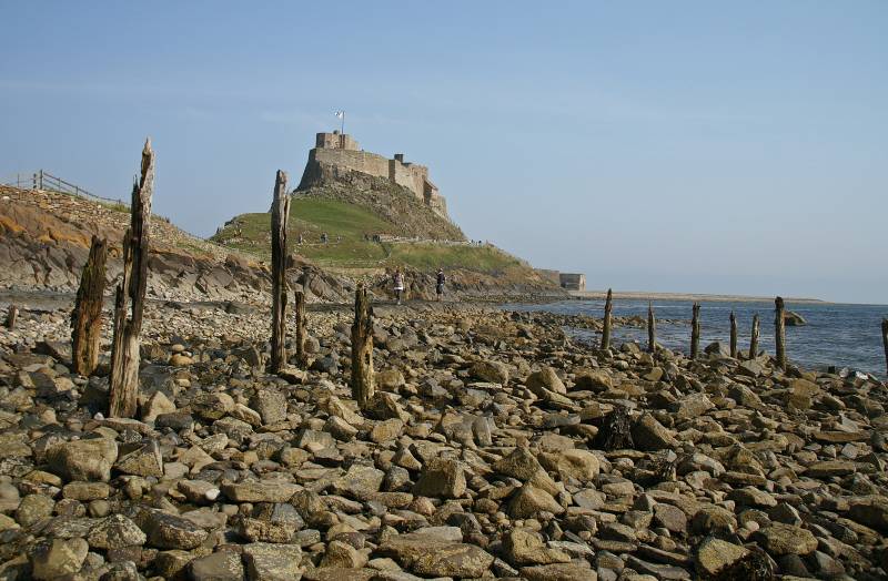
I'm standing amongst the remains of the old pier looking to Lindisfarne Castle, but if you look a little closer another building can be seen at the base of the castle bottom right.
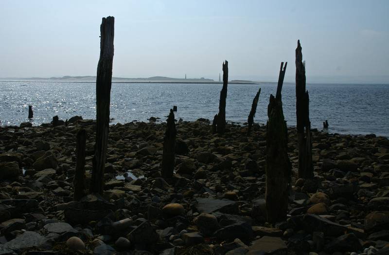
From the remains of the pier views to Guile Point.

This is the building you could see from the old pier, six massive Lime Kilns built in the 1860s, fired by coal brought in by sea, the lime stone was quarried to the north of the island, a waggonway way ran through the heart of the kiln down to the old jetty visited earlier.
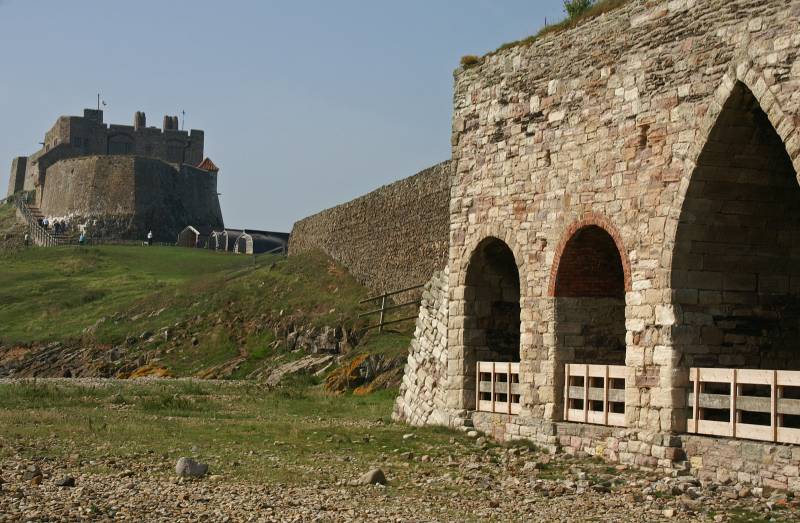
The castle seen from the kilns, at one point there was five ships ferrying coal and lime between Dundee and Holy Island such was the scale of this operation.

The shingle bank at Castle Point, look closely to the left on the hazy horizon, it's just possible to make out the bulk of Bamburgh Castle.
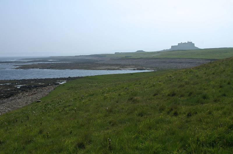
Lindisfarne Castle seen from Sheldrake Point.
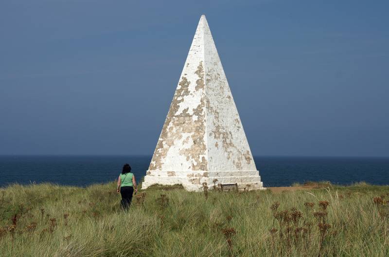
Sue approaches the navigation beacon on Emmanuel Point.
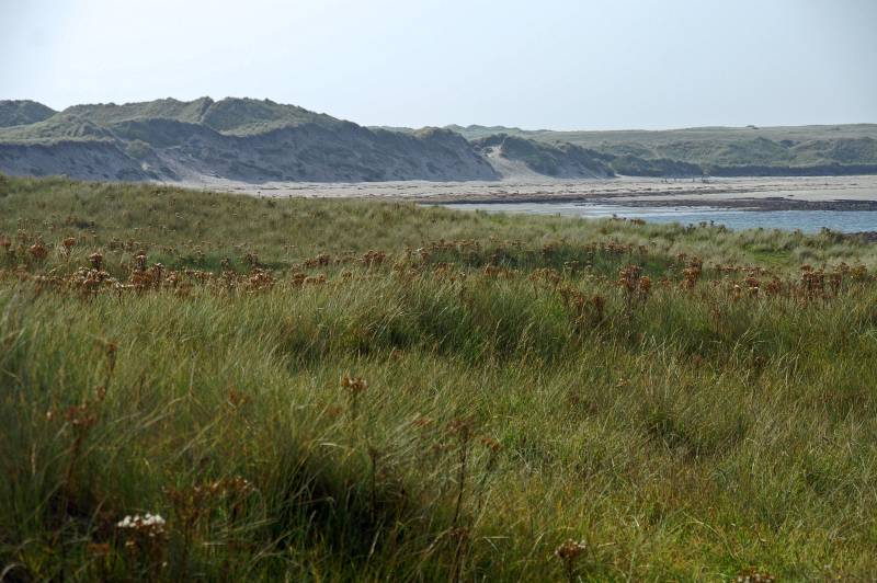
The Links on the north of the island an landscape of dunes and shifting sand.
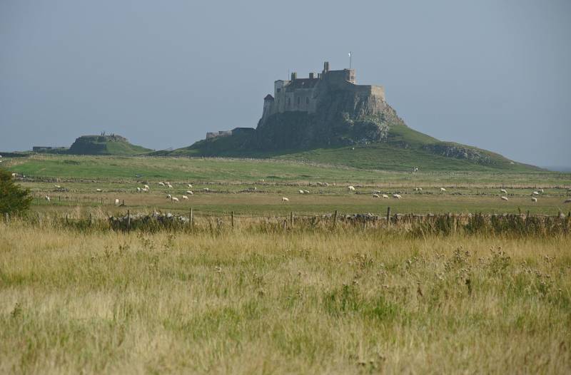
Seen from Straight Lonnen the northern face of the castle, in my humble opinion it's best side.
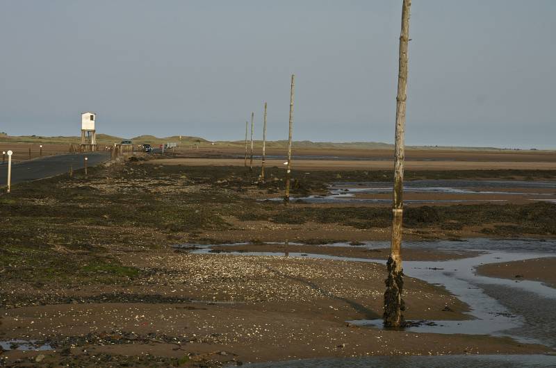
This wasn't on our route today I just found the need to stop, the three mile long causway linking Holy Island to the main land, cut off by water twice a day, the small white tower is The Refuge a safe haven for those who time their crossing badly.